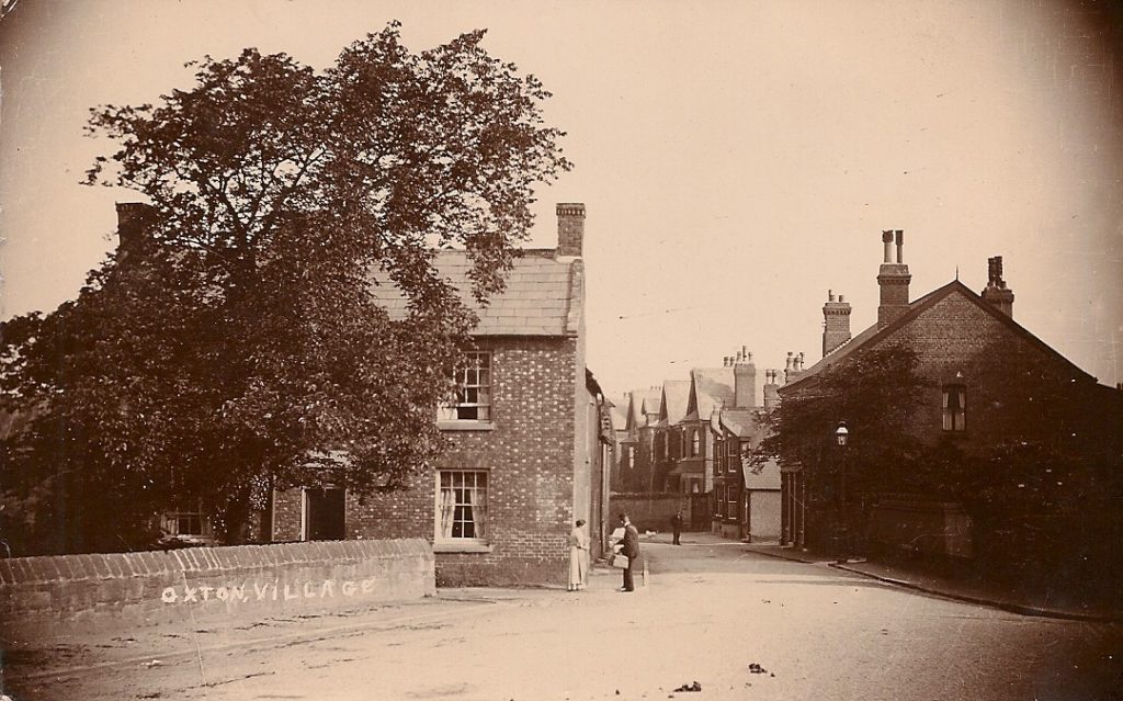
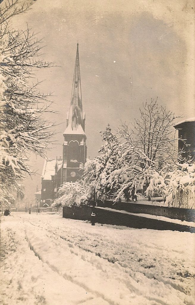
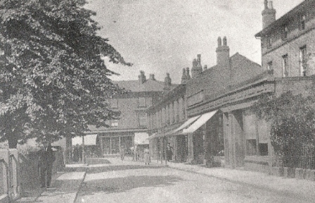
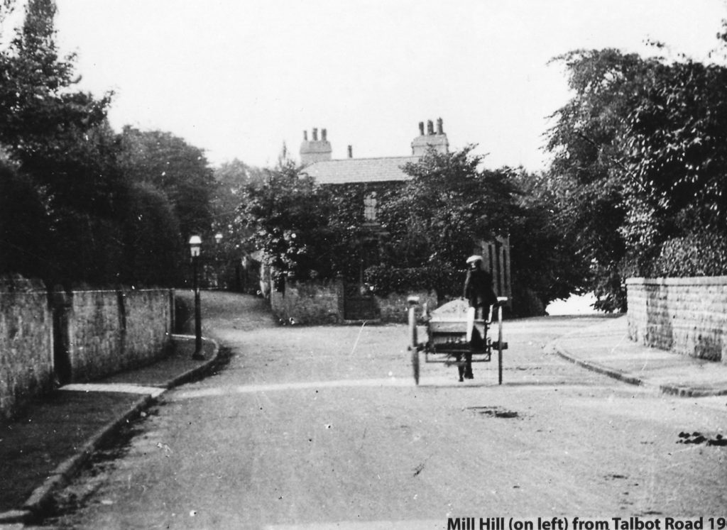
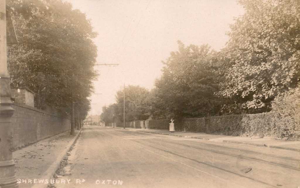
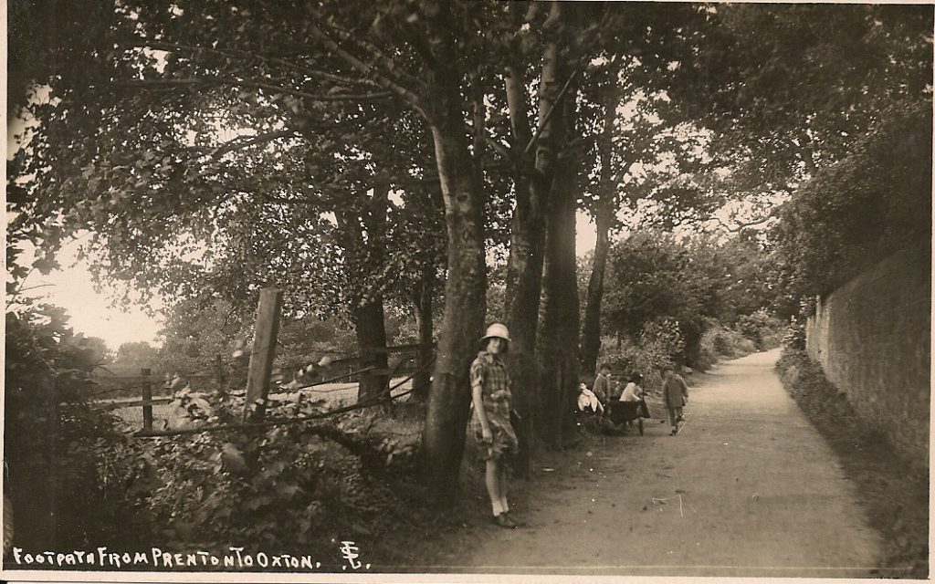
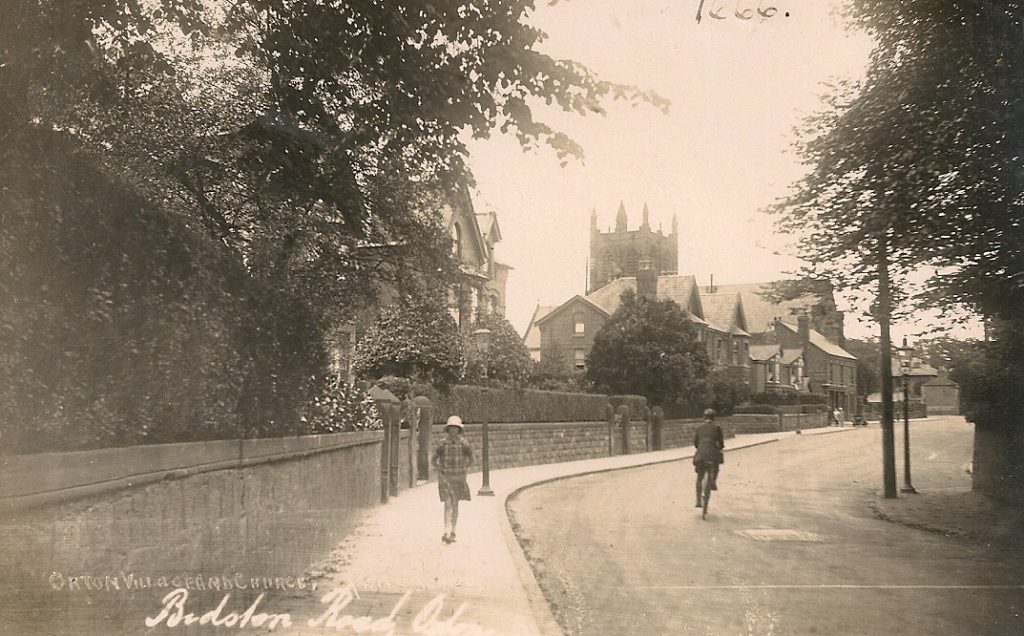
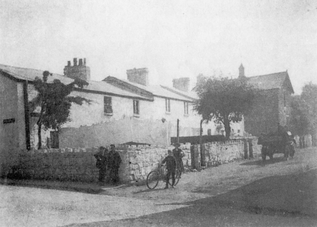
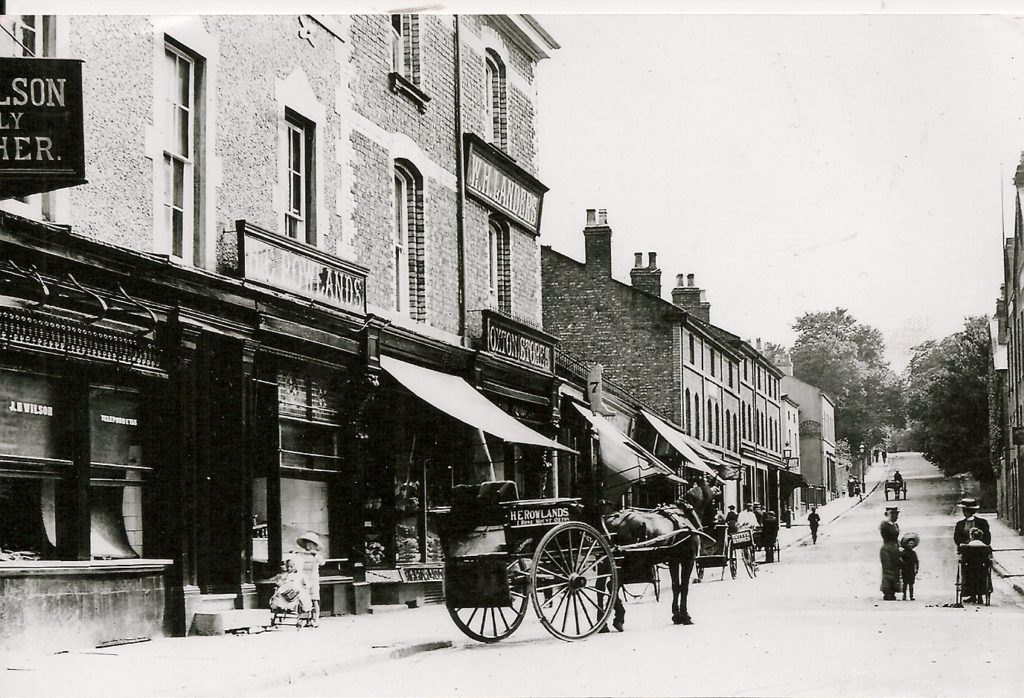
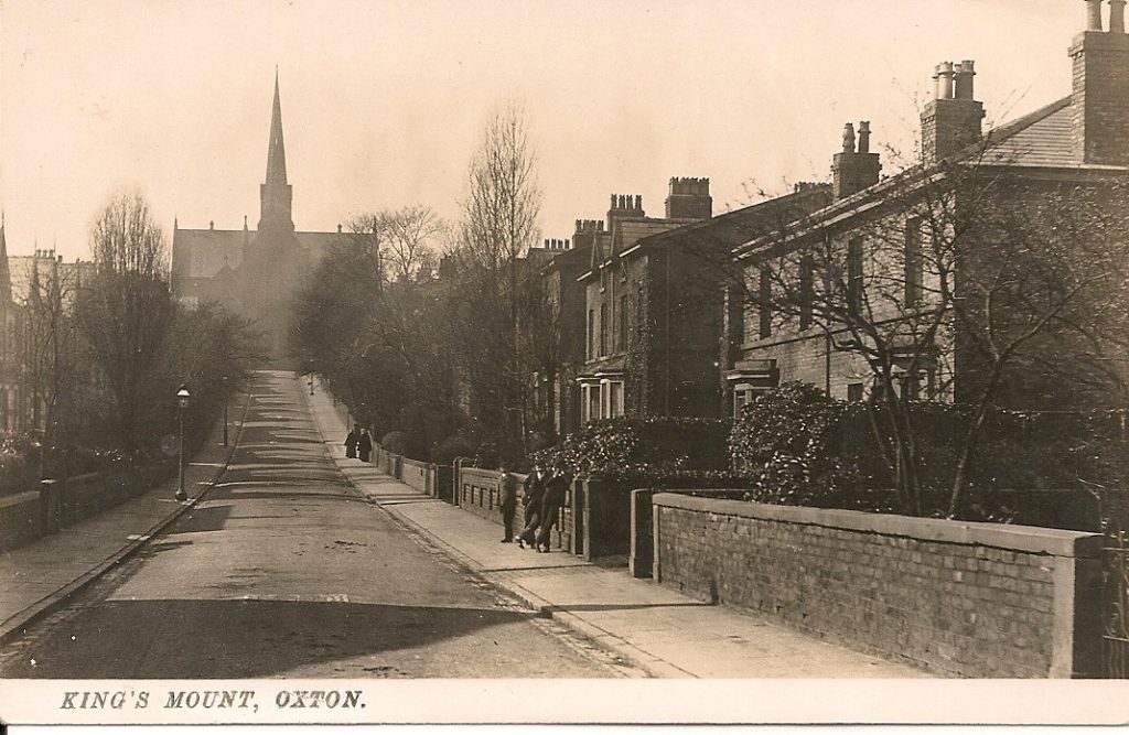
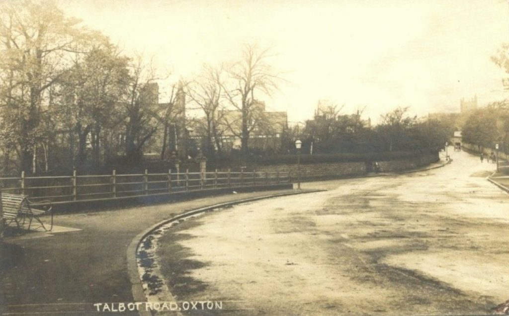
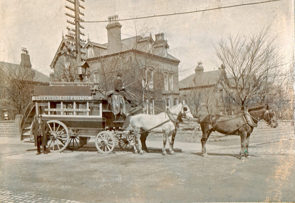
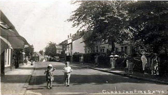
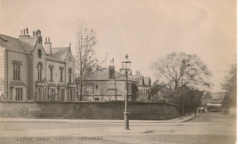
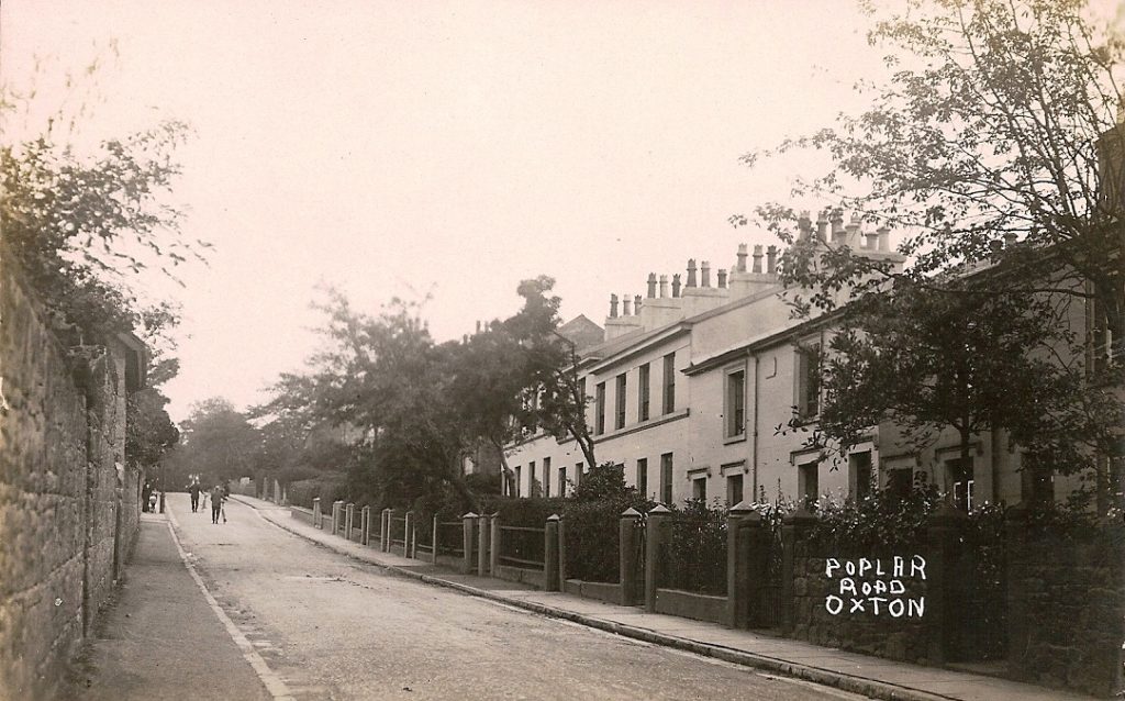
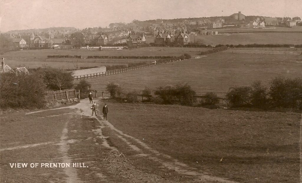
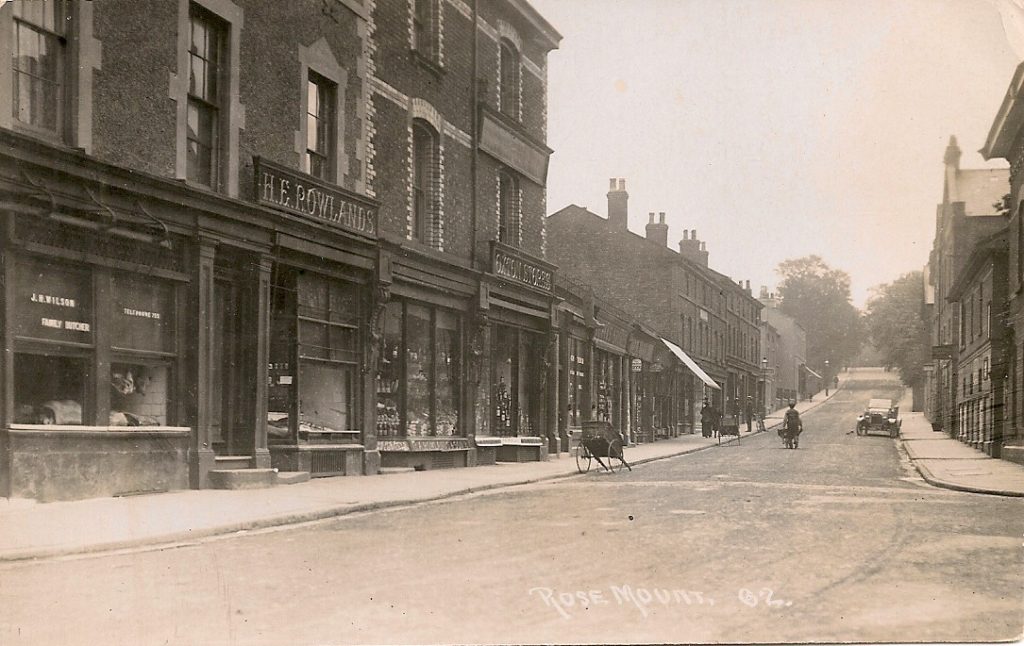
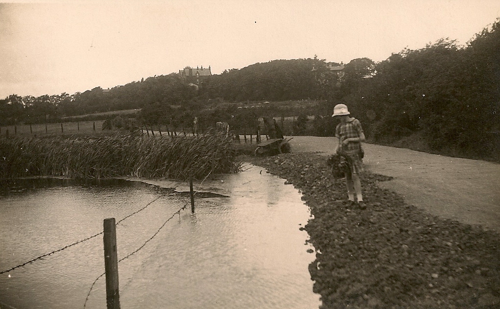
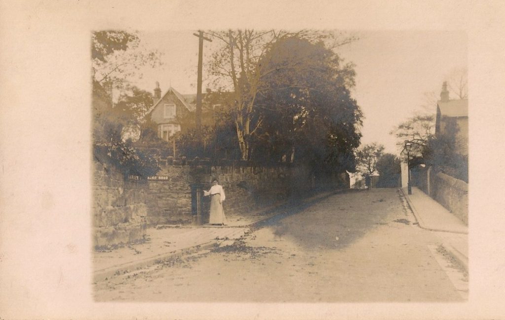
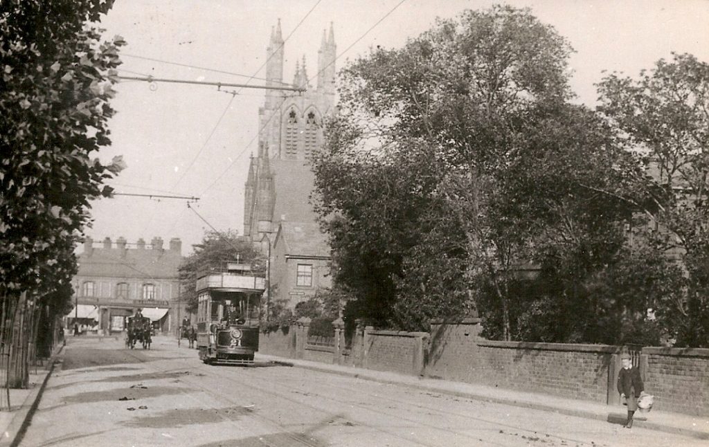
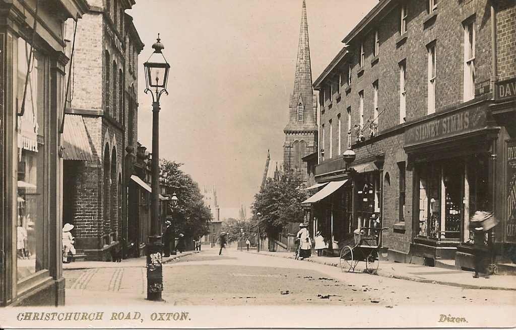
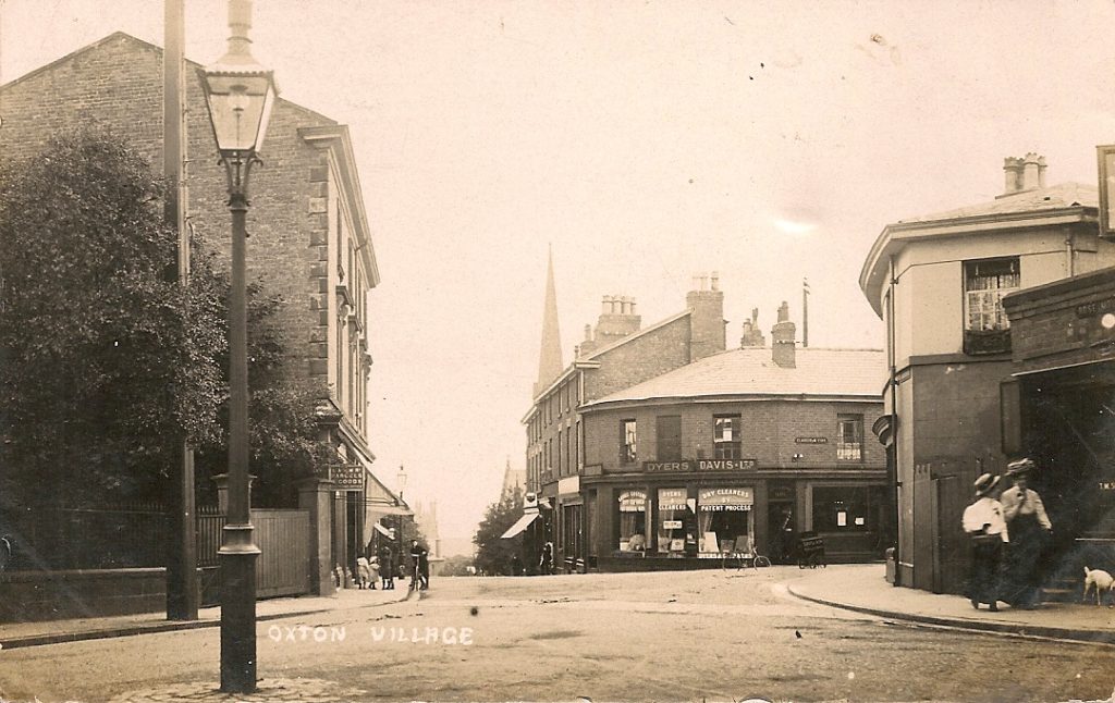
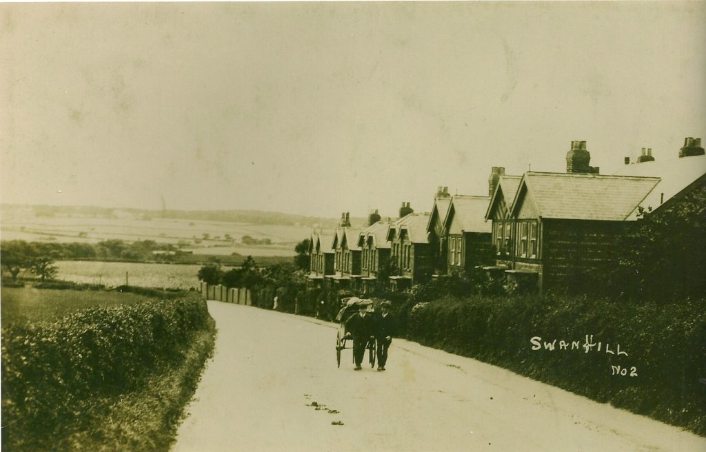
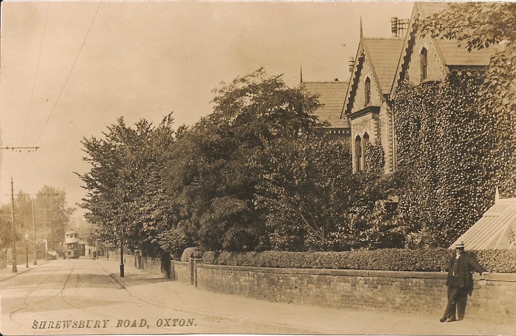
Roads & Streets |Published on: Apr 17, 2018|Categories: Images of Old Oxton| Bidston RoadChristchurch RoadBirch RoadClaughton FirsMill HillShrewsbury RoadDuck Pond LaneBidston RoadRose MountTemplemore Road, early 1980’sNewburns Lane. The washing hanging outside led to the local name of Dolly Tub RowRose Mount, 1908, showing the premises of Wilsons, family butcher, Rowlands, fishmonger, and Landers, Oxton StoresRose MountKings MountMill Hill A mill stood here for many years until the1850’s when it was demolishedAlton & Cearns Roads Junction, showing horse-drawn bus on regular route to Birkenhead Central Station and Woodside FerryClaughton Firs, probably 1920’sClaughton Firs, 1930’s. The house at top of Bennett’s Hill, destroyed in the War, was still standingAlton RoadPoplar RoadDuck Pond LaneRose MountDuck Pond Lane – until relatively recently there was a duck pond at the bottom near the junction with Woodchurch RoadDuck pond on Fred Adams’ poultry farm opposite the Halfway HouseFairview RoadBalls RoadChristchurch RoadBeresford RoadVillage Centre, around the turn of the 19th centurySwan HillShrewsbury RoadFairclough Lane -aerial photo taken 1920 showing Fairclough Lane, end of Glenmore Road and Rose Cottage < Back to Main Images Page