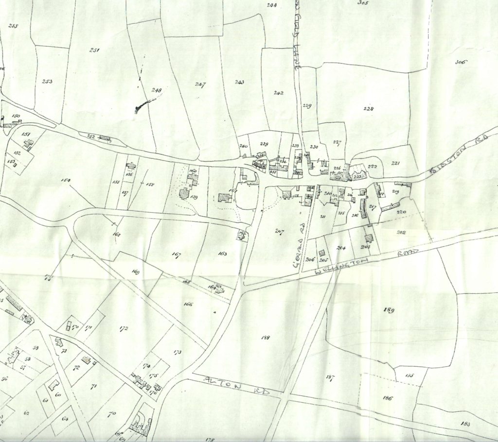
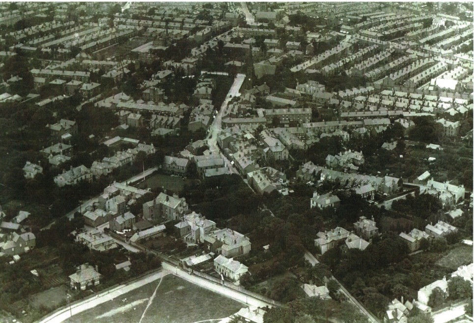
Documents and Maps |Published on: Apr 17, 2018|Categories: Images of Old Oxton| Documents Mortimer on Oxton 1847Newspaper article 1969 Maps Wellington Rd & Beresford Rd 1875Tithe map, c. 1847, showing old Oxton Village around St Saviours and the Carnarvon Castle (its original spelling)Oxton aerial photo 1920Village centre, c. 1860. Christchurch Road is shown as Church Road, and Palm Hill as Balls Lane < Back to Main Images Page