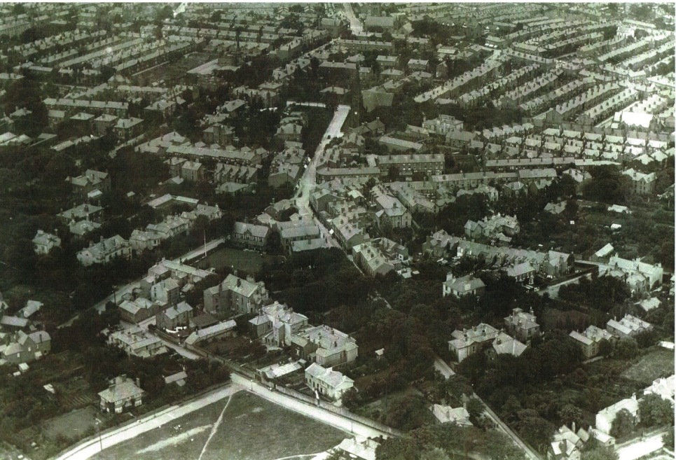
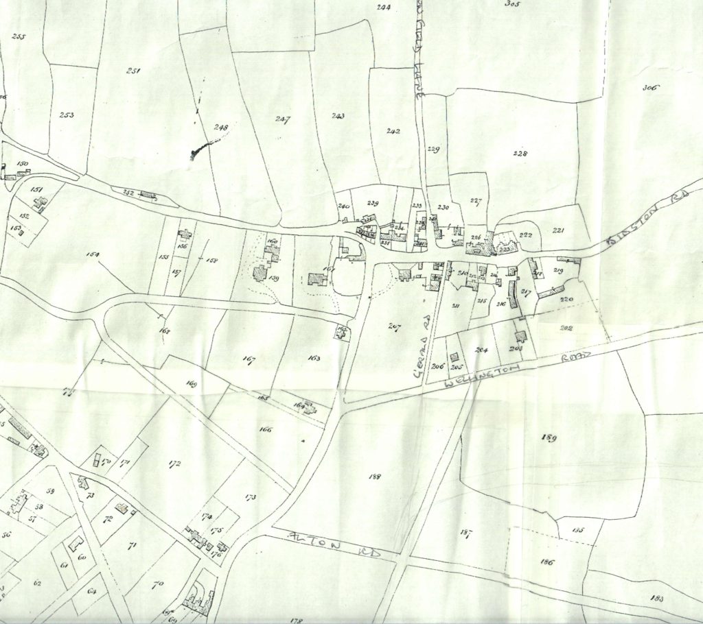
Documents and Maps |Published on: Apr 17, 2018|Categories: Images of Old Oxton| Documents Mortimer on Oxton 1847Newspaper article 1969 Maps Village centre, c. 1860. Christchurch Road is shown as Church Road, and Palm Hill as Balls LaneOxton aerial photo 1920Wellington Rd & Beresford Rd 1875Tithe map, c. 1847, showing old Oxton Village around St Saviours and the Carnarvon Castle (its original spelling) < Back to Main Images Page